Isaac Following In Katrina’s Footsteps?

Nearly seven years to the day Katrina made landfall, residents along the Gulf Coast are anxiously anticipating the arrival of Tropical Storm Isaac.
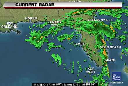
CNN Meteorologist Dave Hennen said Isaac’s forecasted track is almost identical to Katrina’s.
Isaac is expected to make landfall Tuesday into Wednesday, the National Hurricane Center reported. Hurricane warnings have been issued for many areas of the Gulf Coast, from east of Morgan City, Louisiana to Destin, Florida.
While Isaac is much weaker than Katrina, residents along the hurricane’s path aren’t taking any chances and have began to evacuate.
The governors of Louisiana, Mississippi and Alabama have declared a state of emergency.
According to The Weather Channel, “If peak storm surge occurs at high tide, peak water levels above ground could reach the following depths as Isaac moves by:
– Southeast Louisiana, Miss., Ala. coasts: 6-12 feet (10+ feet possible in southeast Louisiana)
– South-central Louisiana: 3-6 feet
– Florida Panhandle: 3-6 feet
– Florida west coast from Apalachicola to south of Naples: 1-3 feet
“Even as Isaac’s center of circulation moves by, locally heavy rainbands can be expected. Another 1-3″ of rain is possible in central and south Florida with locally higher amounts. Isolated storm total rainfalls of 15″ are possible in central and South Florida. Rainfall amounts over 10″ are likely as Isaac slows down immediately prior to, and after landfall, in southeast Louisiana, southern Alabama, Mississippi and the western Florida Panhandle. Isolated 18″ amounts are possible.”
[youtube url=”http://www.youtube.com/watch?v=z60c9D_cFG0&feature=share&list=UUupvZG-5ko_eiXAupbDfxWw” width=”450″]