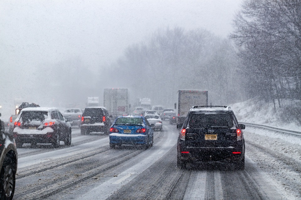
A ‘bomb cyclone’ storm is about to blast the east coast

A fierce winter ‘bomb cyclone’ storm is set to hit the east coast in the coming days, bringing hurricane-force winds and white out conditions, and making travel extremely difficult.
Ferocious Storm Moving in Friday and Saturday
Residents in the Mid-Atlantic and Northeast will be slammed by Winter Storm Riley, which is expected to deliver blustering winds, overwhelming rain, and heavy snow that will also create strong waves along the coast.
[Please RT: Moderate-Major Coastal Flooding/Hurricane Force Wind Gusts] Very significant coastal flooding along the eastern MA coast over multiple high tide cycles Fri/Sat. Hurricane force wind gusts Fri pm across Cape/Islands, property damage+numerous power outages possible. pic.twitter.com/htimcSUxXE
— NWS Boston (@NWSBoston) March 1, 2018
High wind warnings and watches are already in effect all the way from northern Georgia to southern Maine, a distance of some 900 miles.
The worst of the wind and coastal flooding will hit from eastern Massachusetts to southern Maine, AccuWeather meteorologist Brett Anderson said. Hurricane-force wind gusts of 75 mph are possible, the National Weather Service said.
Winter Weather To Make Travel Treacherous
The storm is expected to cause coastal flooding on Saturday morning that could cause numerous road closures in Atlantic and Ocean Counties, Ocean City and Somers Point, Wildwood Crest, Cape May and West Cape May, New Jersey, and Kent, and Sussex Counties, Delaware.
Authorities have warned drivers to plan carefully and to check weather conditions and road closures before setting out.
Storm to Undergo Bombogenesis
The storm is expected to undergo explosive development known as bombogenesis, which is a rapid drop in atmospheric pressure of 24 millibars or more in a period of 24 hours or less, the Weather Channel said. This is commonly referred to as a “bomb cycle” storm.
Power outages, coastal flooding, damaging wind gusts and flight delays are all likely as the nor’easter explodes off the New England coast.
The language the National Weather Service is using is serious: “THIS MAY BE A LIFE THREATENING SITUATION”. “Severe damage to shoreline structures; some homes may be destroyed; widespread inundation of coastal roads, basements…” pic.twitter.com/6WKkN5KKyZ
— Alex DiPrato 7News (@AlexDiPrato) March 1, 2018
The East Faces a Bomb Cyclone
Meteorologist Ryan Maue of weather.us said “this ‘bomb cyclone’ wind field is larger than most Category 1 hurricanes, with winds to match.”
Up to two feet of heavy, wet snow will bury portions of New York and Pennsylvania. Strong winds are likely Friday afternoon and evening, with local whiteout conditions possible, the weather service said. Blizzard conditions are possible in portions of eastern Pennsylvania.
Yet another storm could follow on its heels: “Unfortunately, there is increasing potential for another major coastal storm by the middle of next week,” the weather service said.