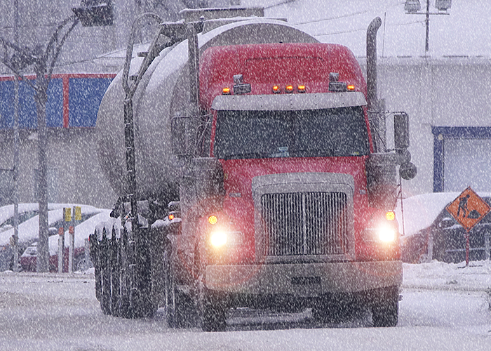
October storm to dump multiple feet of snow, impede travel on major interstates

An October snowstorm is looming this week in the Rockies and northern Plains — and it could cause travel trouble for many drivers.
The snow is expected to start falling on Tuesday in Washington as well as the northeastern parts of Montana and Idaho, spread into parts of North Dakota, South Dakota, Montana and Wyoming by Wednesday, and then reach Colorado and Nebraska by Thursday, the Weather Channel reports. The snow could continue into Saturday in parts of the Dakotas, Michigan, Minnesota, and Wisconsin.
Snow accumulations of two or even three feet are possible in some northern areas.
AccuWeather Senior Meteorologist Alex Sosnowski said that the storm could have major travel impacts: “Major U.S. highways that can be adversely affected by the storm include Interstate 15, I-25, I-80, I-90 and I-94, as well as Canada highways 1, 2 and 3.”
As of Tuesday afternoon, snow has already started to fall in Washington state, causing travel trouble for trucks on Stevens Pass.
#Update: Traction Tires now REQUIRED on Stevens Pass, Chains required on Vehicles over 10,000 gross vehicle weight. Oversize Vehicles Prohibited. https://t.co/OPPQFeZ6tN
— Trooper John Bryant (@wspd6pio) October 8, 2019
Snoqualmie Pass has already seen snowfall as well.
Lots of snow/hail falling in several areas and just got this from our weather service about @SnoqualmiePass. CliffsNotes: Snow accumulations of 2-3 inches on the road between 12:30-4 pm, with more scattered the rest of the evening. Please be cautious! pic.twitter.com/RqfriQNmta
— Washington State DOT (@wsdot) October 8, 2019
This is not the first snow of the season — late September saw a major snow storm that left behind snow accumulations of four feet in some areas and prompted Montana Gov. Steve Bullock to declare a state of emergency.