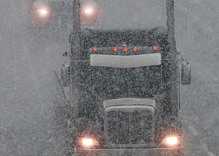
‘Historic’ weekend blizzard could bring multiple feet of snow, making travel treacherous or impossible

We’ve barely entered into fall, but forecasters are already predicting a major winter weather event for the weekend.
Weather watchers say that a storm system is likely to hit portions of Idaho, Montana, and Wyoming starting late Friday and lasting through the weekend, the Weather Channel reports.
The greatest amount of snowfall is predicted to occur in north and central parts of Montana, where at least a foot of snow accumulation is “probable” and “multiple feet of snow” are possible in some areas. The blizzard could also bring wind gusts of up to 40 m.p.h. to the area, forecasters say.
Likely “HISTORIC SNOWSTORM” to impact much of MONTANA and parts of WYOMING this weekend! (This is not your typical September dusting!) Stay tuned @weatherchannel @NWSMissoula @NWSGreatFalls pic.twitter.com/SeEPh3AhUl
— Chris Bruin (@TWCChrisBruin) September 25, 2019
“This early-season winter storm and/or blizzard has the potential to set a new benchmark for snow accumulations, cold temperatures, and resulting impacts for parts of the Northern Rockies and the Rocky Mountain Front,” the U.S. National Weather Service — Great Falls wrote. “Extreme impacts are possible with this storm, including to the power infrastructure (downed power lines resulting in widespread power outages), agricultural interests, outdoor recreation (camping and hunting activities), and travel. Widespread significant tree damage is possible with the heavy, wet snow and strong winds impacting trees with foliage.”
You can see the latest video report from the U.S. National Weather Service — Great Falls on the impending storm system below.