Experts are predicting a “blockbuster” winter storm starting Tuesday
A significant winter storm is expected to hit the northeastern part of the country on Tuesday, inspiring an onslaught of winter storm watches and advisories.
The “blockbuster storm” will occur from Tuesday to Thursday and is expected to deposit more than two feet of snow in some areas of the northeast from Illinois to Canada.
“As upper-level energy moves from the Rockies into the East Monday and Tuesday, an area of low pressure will begin to take shape across the southern Plains and Southeast,” explained AccuWeather Senior Meteorologist Tyler Roys.
“This storm system will then turn northeastward and track somewhere near the East Coast, tapping into the cold air that will be available to create a winter wonderland for some.”
Something we’ve had very little of last year, blocking. Greenland block and slower moving low near 50 degrees/ 50 degrees lat/long. These provide an upstream traffic jam. Should be enough to keep the storm heading more east and from overwhelming the cold pool over the Northeast. pic.twitter.com/zL1hpbcAzn
— Jeff Berardelli (@WeatherProf) December 13, 2020
“As the storm system forms in the South, a chilly rain will break out along the central Gulf Coast and lower Mississippi Valley later Tuesday and Tuesday night,” said AccuWeather Meteorologist Niki LoBiondo.
“Once it starts moving north, it will meet colder air, and more wintry precipitation will begin to take over with the potential for significant ice and snow across a large portion of the East.”
“East winds around high pressure to the north will bank up a shallow layer of cold air in and against the eastern slopes of the Appalachians,” LoBiondo explained. “This will create a favorable setup for the formation of sleet and freezing rain as the storm system moves north.”
“There is the potential for a large swath for at least some accumulating snow all the way from the Ohio Valley and eastern Great Lakes, through the mid-Atlantic and New England,” Roys said.
Lots to see on the latest water vapor imagery:
— NWS Bay Area (@NWSBayArea) December 12, 2020
1. The center of the storm system due west of British Columbia
2. The moisture plume stretching from the Gulf Of Alaska all the way down to the Central Coast.
3. A promising setup for another round of late night rain showers 😀#cawx pic.twitter.com/weOeiCnOvc
“While we continue to monitor trends, residents in the East need to pay close attention to the forecast over the next few days,” Roys warned. “This storm has the potential to be highly disruptive for a large number of people.”
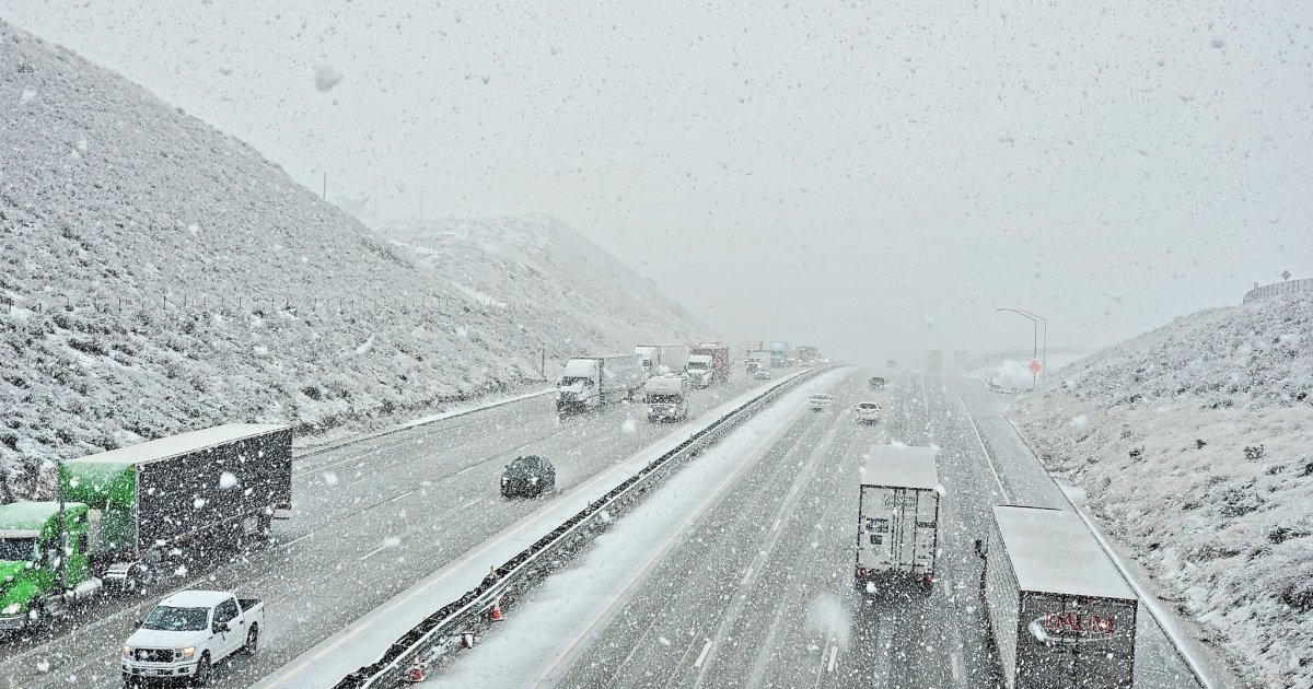
Along with a massive accumulation of snow, experts also predict a buildup of ice is possible in some areas, creating treacherous roadways and even potentially downing power lines. Experts are citing Interstates 40, 77, 95 and 81 as the highways most likely to experience treacherous travel conditions.
“Where the heaviest snow falls, it could leave a thick-enough blanket of snow to last all the way until Christmas,” Roys said.
“Overall a chillier pattern looks to last until Christmas, so if any locales get around a foot or more of snow, it could be enough to last until Christmas. It could also turn a bit more active again Christmas week, so some spots could even add a little more snow before the holiday.”