‘Historic’ snowstorm could bury Colorado & Wyoming in up to three feet of snow
Forecasters are predicting a tough weekend for travel in Colorado and Wyoming caused by an epic winter weather storm.
Weather watchers have issued winter storm warnings for both Colorado and Wyoming headed into the weekend.
Colorado Braces For Possible Historic Snowfall
Accuweather forecasters say that Denver in particular could be hit by the biggest snow storm that the city has seen since 1885.
Saturday night and into Sunday morning, snowfall rates of 1 to 3 inches per hour are predicted for the central and southern Rockies — and across Colorado and southeastern Wyoming.
In total, forecasters say that Denver could be blanketed in as much as two feet of snow. Cities west of Denver, including Fort Collins and Boulder, could see snowfall amounts of three feet.
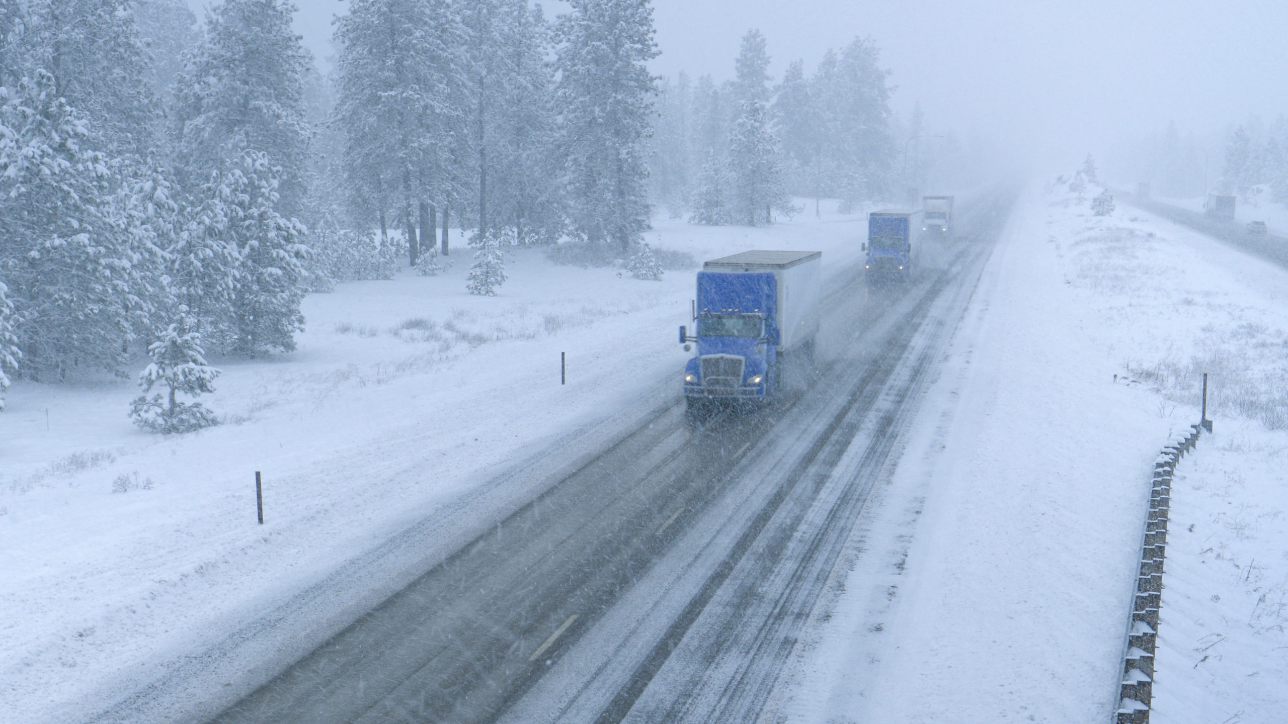
The Colorado Department of Transportation (CDOT) is warning drivers to avoid unnecessary travel.
From CDOT:
The forecast has a wide range of accumulations from one to three feet of snow in and around the Denver region, particularly the western and southern areas. Heavier snow may fall over the foothills and east of the Continental Divide. The most severe impacts are expected for the lower elevations. The storm is expected to hit late Friday and last through the weekend. The last time a storm like this swept the state was in 2003 with up to six feet in parts of the foothills.
Heavy accumulations are possible along I-70, I-25 and other highway corridors in the foothills and the Front Range. Heavy snow is expected along the I-70 mountain corridor to the Eisenhower Memorial Johnson Tunnel.
Here is what motorists need to know:
- If you are planning to travel the I-70 mountain corridor for a weekend in the mountains, head to your destination BEFORE the storm, before Friday evening.
- Regardless of your destination, get there before the storm hits.
- AVOID traveling on impacted roads during the storm, throughout the Denver metro area, on the I-70 Mountain Corridor and I-25 South Gap construction zone between Castle Rock and Monument. CDOT is likely to close these roadways for safety reasons depending on the severity of the storm.
- It is also possible I-70 east of Airpark Road and other roadways in the Eastern Plains may close depending on the severity of the storm.
- CDOT crews will be out in force and plowing roads, focusing on clearing I-25, I-70 and impacted interstates. They will make multiple passes on these roads during the storm and will not be able to plow the secondary routes until the worst of the storm has passed. This means many roadways could be heavily snow packed, making for hazardous driving conditions.
- During a significant and high impact snow storm, travel should be limited to emergency and essential reasons with the proper vehicle and tires for heavy snow. DO NOT ATTEMPT to drive in such weather conditions unless you have the appropriate tires with good tread. Motorists should leave ample distance behind the vehicle ahead and NOT PASS PLOWS. If you are out in the storm, have an emergency kit with blankets, food, batteries, water, a shovel and survival supplies should you get stuck or stranded.
- It’s best to STAY OFF THE ROADS DURING A HEAVY SNOW EVENT.
- For more information on preparing for the snow, chain and traction laws and other winter storm related guidance, go to winter.codot.gov
Cheyenne Could Be Buried “Waist Deep In Snow”
Accuweather says that “Snow from the weekend storm will follow a quick-hitting storm at midweek that unloaded a few inches to a foot or more of snow in parts of Wyoming, the Nebraska Panhandle and southwestern South Dakota … The combination of snow from both storms could leave Cheyenne, Wyoming, buried waist deep in snow.”
You can click here for the latest travel information from the Wyoming Department of Transportation.