Possible derecho and wind speeds of up to 90 m.p.h. threaten drivers in South Dakota, Minnesota, and Iowa
A dangerous wind event may be on the way for the Northern Plains on starting Tuesday afternoon, according to weather experts.
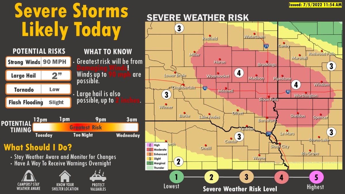
Forecasters are predicting severe thunderstorms, tornadoes, hail, and a possible derecho (a type of widespread wind storm) for parts of southeastern South Dakota, southwestern Minnesota, and northwestern Iowa. Parts of Nebraska are also under a severe thunderstorm watch.
The National Weather Service (NWS) in Sioux Falls predicts that wind gusts of up to 90 miles per hour are possible with half dollar sized hail as the storm develops on Tuesday afternoon into the evening.
The NWS video below walks you through what to expect for the Tuesday weather event.