Trucker: GPS Sent Me Astray
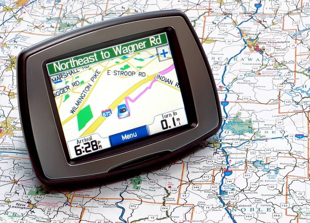
 Yet, another story of GPS sending tuckers astray.
By LINDA HARRIS – Business editor, The Herald-Star, Ohio
WEIRTON – Officials in Weirton are trying to figure out why trucks headed to the Half-Moon Industrial Park are ending up on Marland Heights, a residential area with narrow, windy streets on a hill high above the industrial area.
There is no road linking the two.
Mayor George Kondik and Ward 5 Councilman George Gaughenbaugh say it appears to be a GPS problem, though maps used by the three companies dominating the GPS market Garmin, Magellan and TomTom appear to be correct.
“We’ve had numerous problems in the last six months with GPS directions for some reason sending Half Moon trucks up Marland Heights Road,” Kondik said. “They’re tearing out phone lines, tearing up grass.”
Gaughenbaugh said one popular theory is that the problem trucks are southbound on Main Street and when GPS alerts them to make a right turn onto Freedom Way, drivers are jumping the gun and turning instead onto Marland Heights Road.
“It seems bizarre that all of a sudden we have trucks coming up here,” he said. “We put the sign up as emergency measure at bottom of hill. Maybe with this, more people will be aware of what’s happening. If possible, they should get the license plate number or name of a trucking company that’s doing damage because they are liable for damage.”
For now, temporary warning signs have been erected: one, near the bottom of Marland Heights Road, bluntly warns truckers “this is not the way to the industrial park.” The other, located at the intersection of Euclid and Marland Heights Road, is a “truck route” directional sign intended to point truckers in a direction where they can turn around with less risk of doing damage to public and private property.